
Maps is one of the most widely used services nowadays. It is an incredibly versatile tool which is quick and easy to handle. Starting from measuring the distance between any two locations to providing directions to the drivers, bikers, walkers, and users of public transportation it helps users in a variety of ways.
Google Maps have made out life much easy and now it’s difficult to imagine a life without it. Do you know how to use it? Here is a step-by-step instruction on how to use Google Maps.
Before you start using Google Maps, you need to do the following:
Turn on GPS
Let Google Maps access your current location and audio speakers
Here’s a guide to get you started using Google Maps
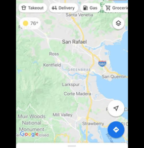
Step 1: At first you need to open the Google Maps app.
Step 2: Search for a place or tap it on the map.
Step 3: In the bottom right, tap directions. (You can even add the destinations)
Step 4: To add destination you have to go to the top right and tap more and then add a stop.
Step 5: Choose one of the following:
Driving
Transit
Walking
Ride Services
Cycling
Step 6: If other routes are available, they will be shown in gray on the map. To follow an alternate route, tap the grayline.
Step 7: To start navigation, tap Start.
Step 8: To stop or cancel navigation, go to the bottom left and tap Close
You can even access the hear voice directions. So that when you navigate to a place, you can hear voice directions
Leave a Reply